
CONSTRUCTION
SERVICES
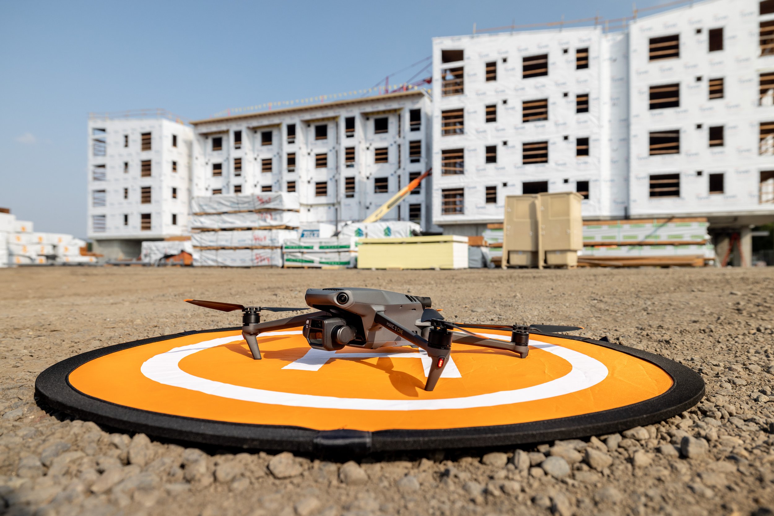
With our drone data program, give your entire team access to visual documentation of every stage of the project, from pursuit and bid to groundbreak and all the way through ribbon-cutting.

WHAT WE CAN HELP WITH
We create accurate, high-resolution digital replicas with 3D models, real-time 2D maps, and 360 virtual tours for any construction site.


INSPECT CRITICAL AREAS

DESIGN vs
AS BUILT VISUALIZATION

stockpile calculations

REPEATABLE FLIGHT PLANS

REAL-TIME
3D MODELING

VIRTUAL WALK-THROUGHS